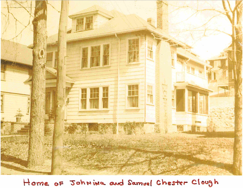
Home of Samuel Chester Clough
As the short biography at the Samuel Chester Clough Research Materials Toward a Topographical History of Boston indicates;
Samuel Chester Clough was born in East Boston, Mass. in 1873. He graduated from Roxbury High School in 1892 and became a draftsman for the Boston Edison Company, where he worked until 1936. After leaving Boston Edison, he worked for the Boston Navy Yard in Charlestown. He married Johnina Johnson, and they had one daughter, Priscilla Clough. He died in Roxbury, Mass. on 1 Sep. 1949.
In addition to being a Resident Member of the Colonial Society (ca. 1913), he was also an engineer, draughtsman and cartographer and was also one of the first officers of the JCGS (refer to the picture here: First JCGS Officers).
The following text was found the following in the Publications of the Colonial Society of Massachusetts, Volume 21, starting on page 21. This book is freely available on Archive.org.
Mr. Samuel C. Clough exhibited a map of Boston in 1648, measuring nine by five feet, drawn by himself, and spoke as follows:
When I became interested in the history of Boston, some twenty years ago, my study fell naturally into line with that of my profession as an engineer, draughtsman, and cartographer. Although there was a great deal of published matter in the form of histories, guide books, pamphlets and brochures, very little had been done to visualize this information. The absence of such data and the reason for this absence so excited my curiosity that, in an effort to supply the deficiency, I at once became a willing and enthusiastic student of our topography. In Mr. Whitmore’s Introduction to the second volume of the Boston Record Commissioners’ Reports he thus refers to George Lamb’s map of Boston founded on the Book of Possessions: “It is a very creditable beginning, but the boundary lines are purely imaginary, and will require almost entire revision. This must be the work of years, if correctness is attainable at all.” This challenge alone, at the outset of my work, acted as an incentive more powerful than any prize which might have been offered. Research of this kind had always appealed to me, and surveying and mapping became a hobby as well as a business; yet after a thorough investigation of what would constitute a reliable map of Boston at this early period, my ardor was somewhat cooled and for a time I abandoned all idea of producing one.
My estimate of the requirements was as follows:
(1) A good, dependable base-map as a starting-point.
(2) The correction of this base-map, by street changes, back to John G. Hales’s survey of 1814, thence, further back, to Osgood Carleton’s survey of 1795. From that date all the street changes would have to be gleaned from the numerous Reports of the Record Commissioners, and from such plans as were available in the office of the City Engineer.
(3) The copying or abstracting at the Suffolk Registry of Deeds of all such data as would verify and establish the street and property lines. My first intention was to abstract thirty volumes; the work has required the abstracting of more than seventy-six volumes.
(4) Abstracting all data affecting real estate found in the Town Records, the Suffolk Probate Office, the Note Books of Lechford and Aspinwall, and the Diaries of Chief-Justice Sewall and others. The Records of the First Church also would have to be copied.
(5) Aside from this copying or abstracting would be the systematic filing, sorting and arranging necessary to bring all this information into line for any particular date or period, which would also require a vast amount of indexing and cross-referencing. Truly, I felt that Whitmore had stated the case none too strongly when he said “this must be the work of years.”
My interest in the study of the topography of Boston, however, was by no means lost, but merely arrested, and I soon began to plot, on a 50-foot scale, two-thirds of the estates listed in the United States Direct Tax of 1798. This led to the harder task of making a set of yearly plans (from 1630 to 1800) of the district known as the Town Dock, embracing the area between the present North Street, Dock Square, Washington Street, State Street and the water. It was the success of this undertaking which impelled me to revert to my original project of treating the entire town in the same manner, and to-day I am happy to say that I have completed this task and have my information so systematized that I can not only exhibit this map of the town as it was in 1648, but can produce a similar map of Boston at any other date prior to 1800.
The work has entailed plottings of 50 feet to the inch, by decennial periods, of a good part of the town, in some instances using as large a scale as 20 feet to the inch.
Shortly before making this map I compiled a plan of the entire town in 1678 on a scale of 50 feet to an inch. This was done in sections, as there is no paper wide enough to plot the entire town on that scale, which would make a map twice the size of the one now exhibited.
The map before you is based entirely on information drawn from what are recognized as original and reliable sources and in no instance has any similar work been used in its production. Our knowledge of the size and location of the several buildings on the lots in 1648 is meagre, but such references as are found in the public records, and in notations in subsequent deeds wherein these properties have been divided or alienated, have been carefully followed in order to produce, as nearly as possible, a correct map of this period.
The irregularities which appear in many of the property lines are the result of plotting the actual dimensions recorded in deeds and proved by conveyances of the abutting properties: in fact, the plot, ting of the estates has been done by piecing together an enormous picture-puzzle in which each piece has a definite place, and all together form a perfect whole.
There are about 350 buildings shown on this map, 315 being dwellings; of the remainder, there are two churches, a schoolhouse, jail, three tide mills and two wind mills; the other buildings are stables, warehouses and shops.
In conclusion, let me say that it is through the plotting of such maps as this that one realizes under what a handicap some of our hard-working, conscientious historians have labored in the past. There are many instances where deeds and notations have been mis-located and I myself, in sorting my data, have been at times perplexed by the fact that some long-standing popular opinion did not fit the topographical conditions. These erroneous opinions, in many cases, were due to centering partial or inaccurate information around some specific landmark, – the mistake of treating separately some particular section of the town instead of dealing with the subject in its entirety.
There are many reasons for these misplacements, which it would take ton much time now to explain, among the principal ones being the numerous separate holdings by the same person, misinterpretation of street appellations, and in many instances mistakes or twists in the compass-points used in the deeds.
As already said, the plan before you is merely a rough, working, base-map to be used only in plotting the different sections of the town upon a larger scale, and upon this I am now engaged.
Webmaster’s Note: Samuel’s daughter, Priscilla M, passed away 19 May 2004. Her obituary is listed in Volume 59, Number 2: Jun 2004 of the JCGS Bulletin.
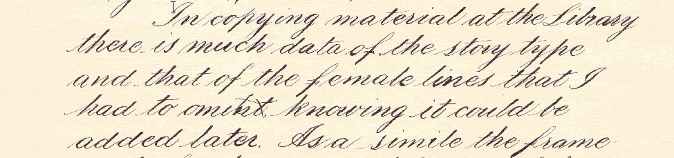
He also had extremely pleasing penmanship skills as demonstrated here:
Samuel Chester Clough- Penmanship